Castle Rock is a impressive volcanic outcropping about
three miles from McMurdo Station. It took us about five hours
round trip, including the climb to the top, a short but
steep climb on a craggy surface. Robert walked since
the trail is fairly well packed by the treaded vehicles,
but I opted for X-C skis, a mistake as it turned out because of
the nature of the trail, at least in the direction we
took. The trip to Castle Rock is a moderate climb for three
miles, not the most enjoyable way to travel a packed
surface on skis. The loop from Castle Rock then descends steeply
for over a mile, again not a suitable X-C trail, at least
for this skier. Thereafter the trail is over fairly level ground to Scott
Base.
It is said that this is the most enjoyable hike on the
Antarctic continent.
The trail is marked for crevasses, and the flags have
to be respected since the snow cover can conceal these dangers almost
totally- it must be quite an art locating them in the
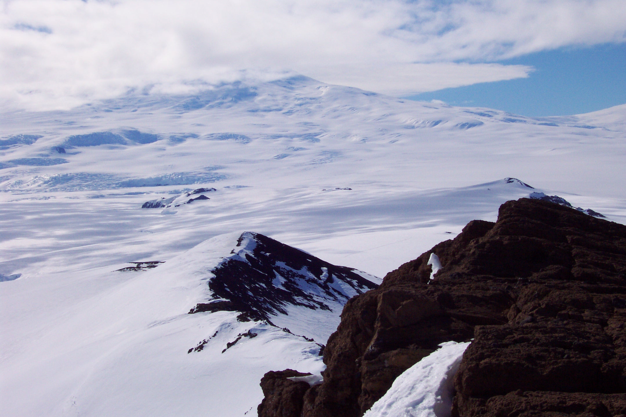
first place. The views throughout the trip were spectacular. We
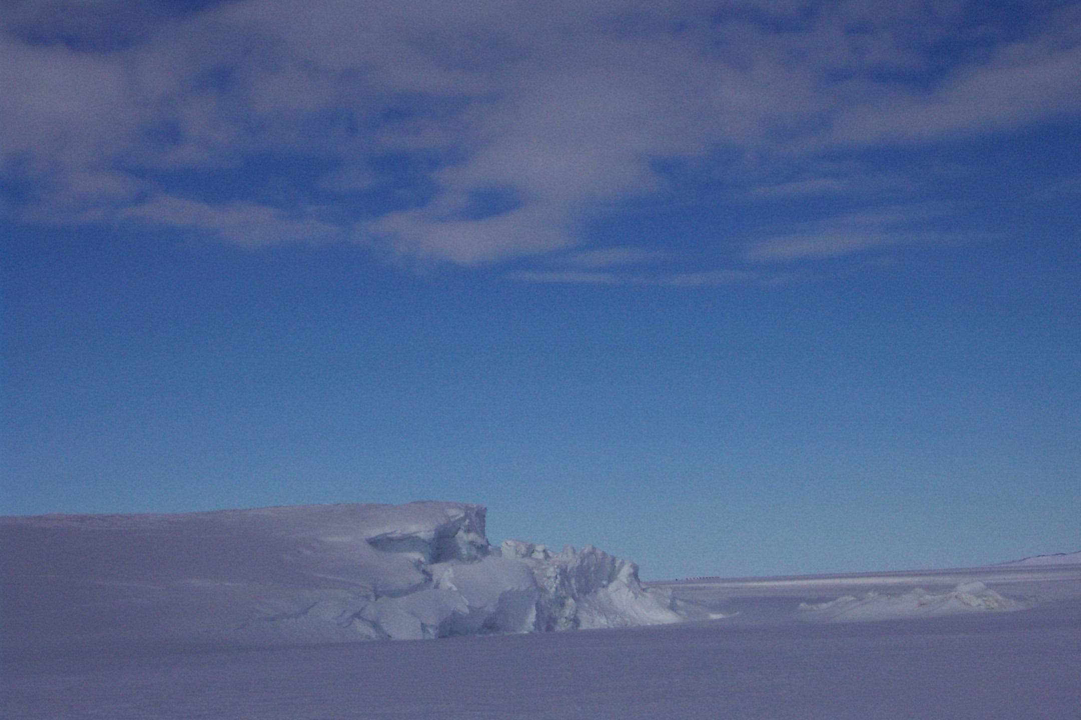
saw huge pressure ridges formed as the Ross Ice Shelf
is squeezed through McMurdo Sound. One sees many seals in that area,
I am told, altough none were in sight as we passed. At
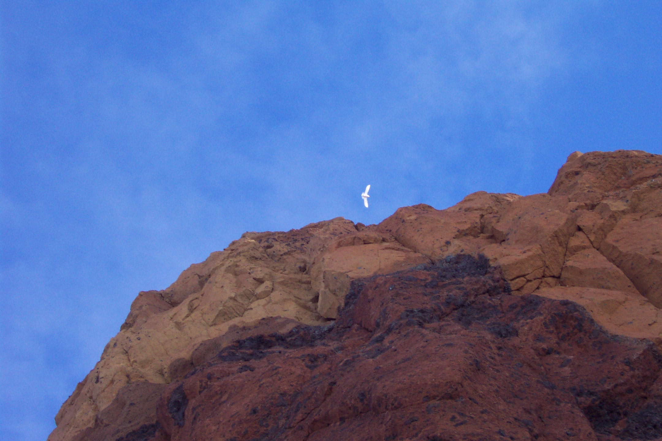
the base of Castle Rock I did see my first snow petrel, a magnificent bird.
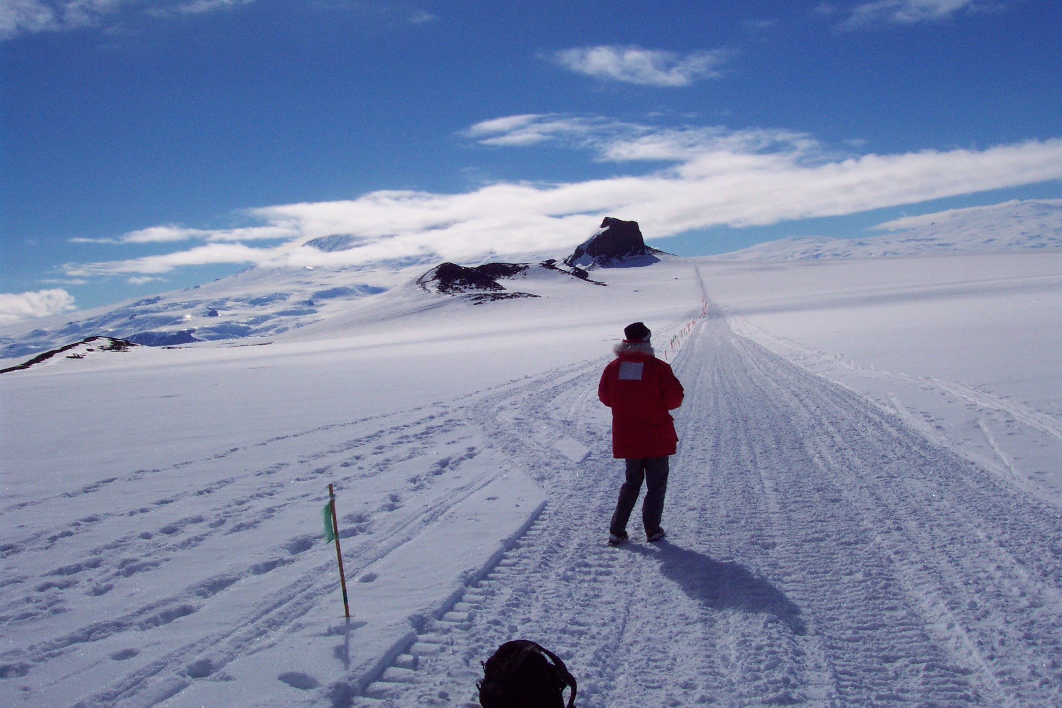
Outbound on the trail. Castle Rock is about two miles
ahead, visible in the distance.
Incidentally distances are notoriously difficult to estimate
in this landscape.
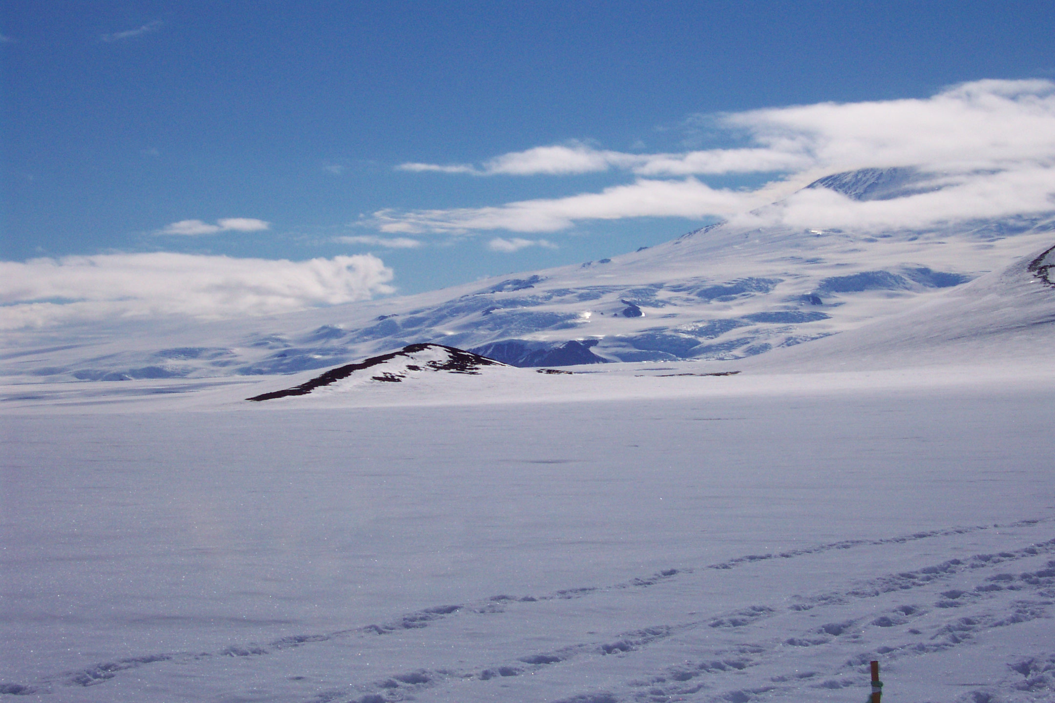
A view on the way outbound:
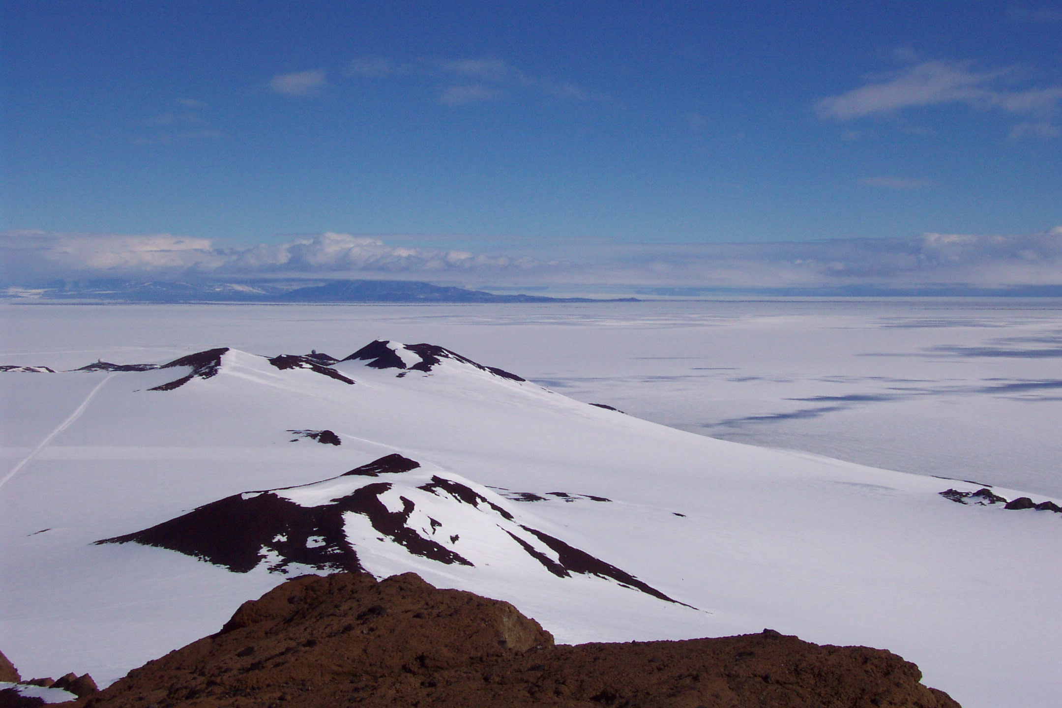
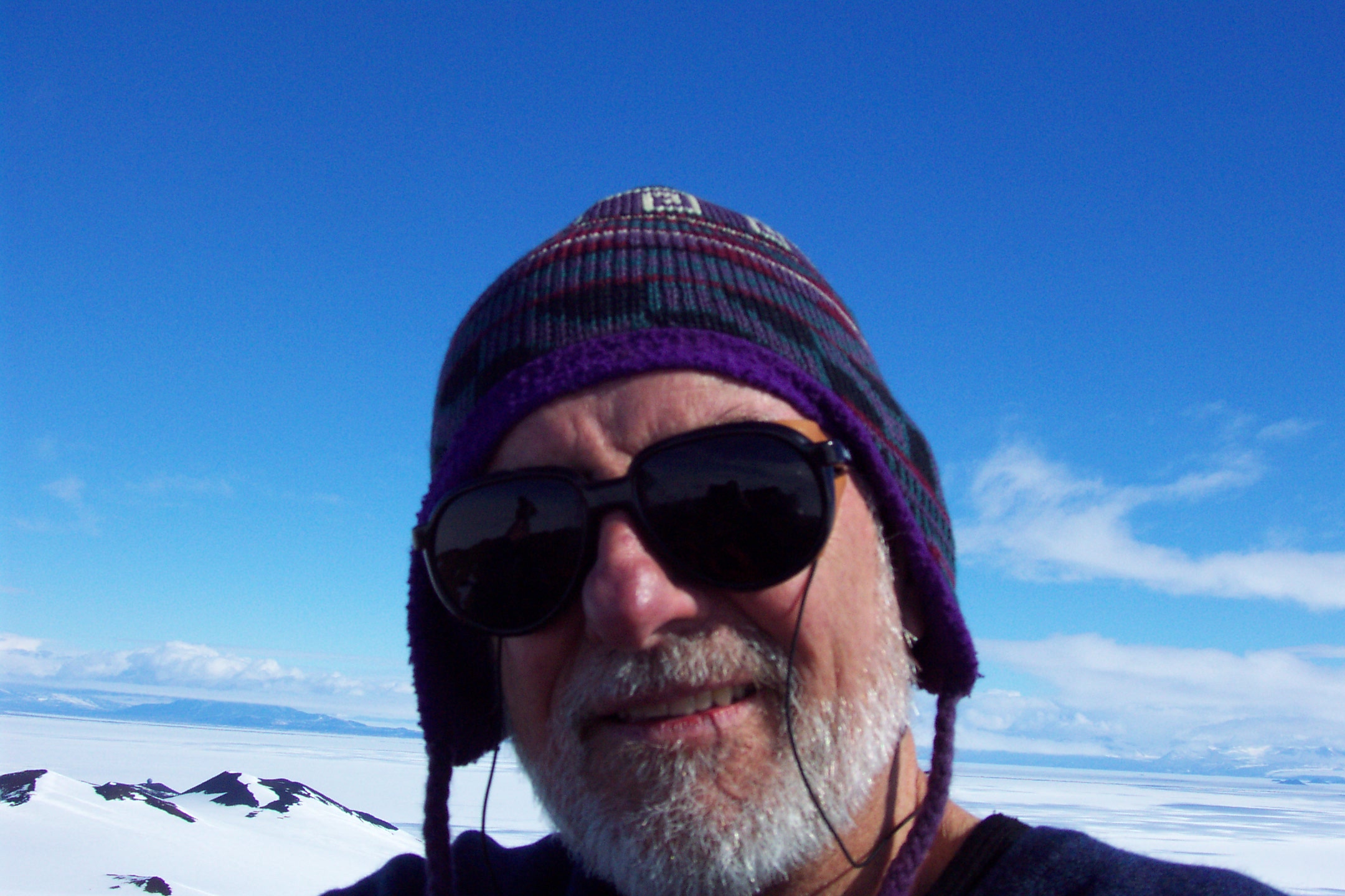
Some photos taken on the summit:

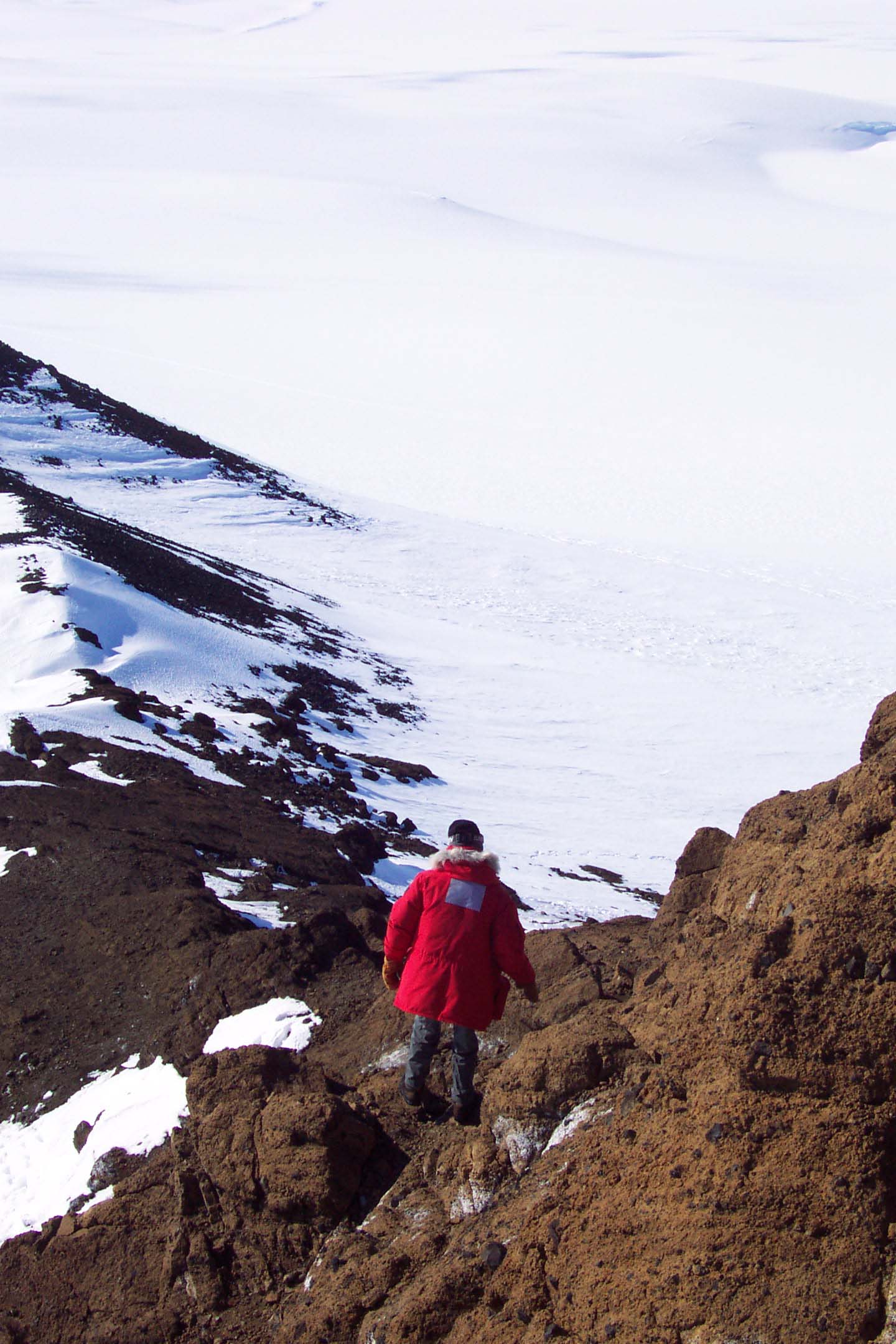
On the descent:
A snow petrel suddenly appeared as we descended. It's nest was nearby.
A pressure ridge in the sea ice on the way to Scott Base.
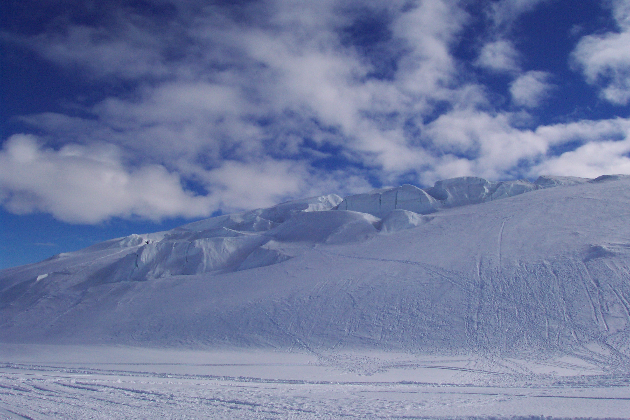
A slope that is used for skiing by those at Scott Base and McMurdo Station.